
Trails
For Every Skill Level
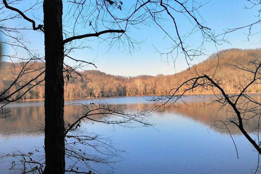
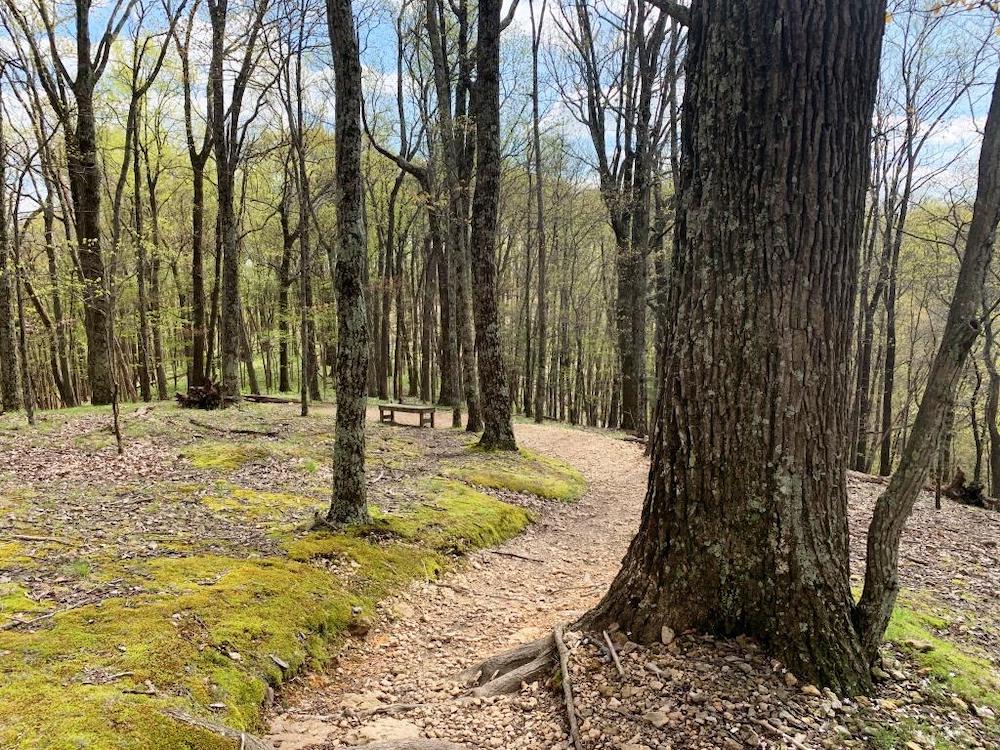
Radnor Lake has some of the highest hills in the Nashville Basin. Whether you’re a novice looking for a nice walk around the lake or an expert seeking more difficult terrain, there’s a trail at Radnor Lake for you.
The wildlife is abundant in every way, shape, and size. From geese and herons to turtles and other mammals, you’re bound to see creatures on your next hike.
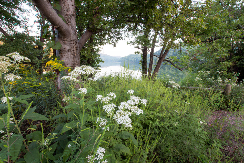
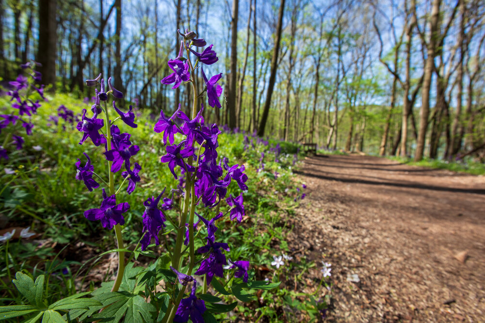
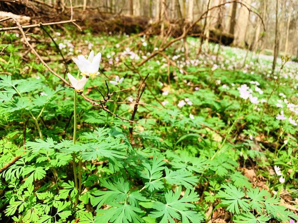
Hundreds of species of wildflowers, mosses, fungi, ferns, and other lesser plants as well as trees, shrubs, and vines add to the natural ecological diversity of the area.
View the Trail Map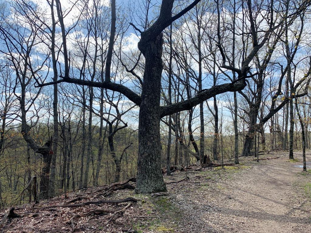
Easy / ADA Accessible
-
Dam Walkway - 0.20 Miles
The shortest trail in the entire park! It provides a gentle, flat, gravel surface across the Dam Walkway and it’s ADA Accessible. It also offers excellent views of the lake and abundant wildlife. The trail is accessible from Otter Creek Road and ends at the Spillway Bridge.
-
Spillway Trail - 0.25 Miles
Starting behind the Walter Criley Visitor Center, with additional access from the west parking area, this mulched trail follows the outflow from the Spillway up to the Spillway Bridge, and a beautiful view of Radnor Lake. The trail continues along the lake to an observation deck, where the Lake Trail begins.
-
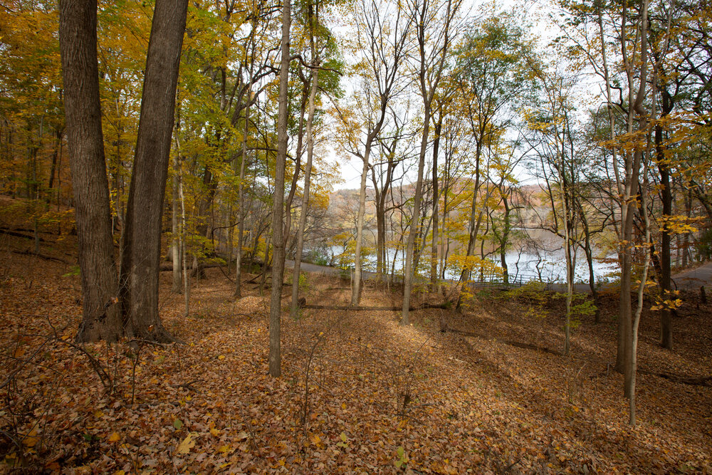
Lake Trail - 1.35 Miles
Picking up where the Spillway Trail ends, this trail runs around the north side of 85-acre Radnor Lake. Several observation points provide excellent vistas of the lake and wildlife. The trail eventually exits onto Otter Creek Road. This is a mulch and gravel surface trail.
-
Otter Creek Road - 1.05 Miles
Because Radnor Lake is a Class II Natural Area, this is the only trail on which dogs and bikes are allowed. The road is closed to motor traffic inside the park. From the road, there are excellent views of the lake, as well as the beaver lodge and dam, which can be seen from the causeway.
Moderate
-
Access Trail - 0.25 Miles
This short mulched trail provides a quick link from the east parking area to the Ganier Ridge Trail. Hikers can also use this trail for access to the nearby Lake Trail.
-
South Lake Trail - 0.90 Miles
Sharing access points off of Otter Creed Road with the South Cove Trail, this less strenuous mulched trail sticks closer to the road and lake. However, it does feature a connection halfway through for visitors who decide to jump on the South Cove Trail.
-
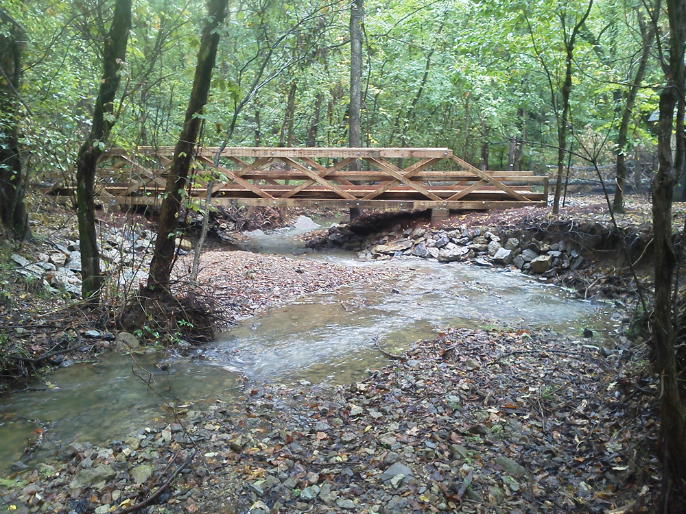
Historic Valve House Trail - 0.40 Miles
Just a short 10-minute hike from the Walter Criley Visitor Center, this interpretive trail features Radnor Lake’s Industrial Complex, and interpretive panels focusing on the L&N Railroad construction of the dam in the early 1900s. The mulched trail crosses a tributary of the Harpeth River to reach the reconstructed Historic Valve-House, where the release of water from the lake to the railyards was controlled.
-
Difficult
-
South Cove Trail - 1.40 Miles
Mirroring the difficulty of the Ganier Ridge Trail, hikers will be taken up to the top of a ridge. The trail runs close to the southern boundary of the park. Views of the lake can be glimpsed through the foliage on lower sections of this mulched trail.
-
Ganier Ridge Trail - 1.65 Miles
There are three access points to this trail, two from the Lake Trail, and one via the Access Trail that runs from the east parking area. This natural surface trail runs up to the top of Ganier Ridge, where there is a plaque honoring the trail’s namesake, Albert F. Ganier (1883-1973). The naturalist and historian was also a co-founder of the Tennessee Ornithological Society, and the plaque was dedicated by the society’s Nashville chapter in 1978.